UC Davis Researcher Returns After Trip Aboard Scientific Drilling Vessel
On March 11, 2011, a 9.1 magnitude earthquake hit just off the northeast coast of Honshu, the most populated island of Japan. The seismic event triggered a tsunami with a wave height of more than 130 feet. The natural disaster left more than 18,000 people dead.
According to the U.S. Geological Survey, the 2011 Tohoku Earthquake and Tsunami was caused by interactions in Japan Trench’s subduction plate boundary zone, an area where two tectonic plates crash together, with one slipping beneath the other.
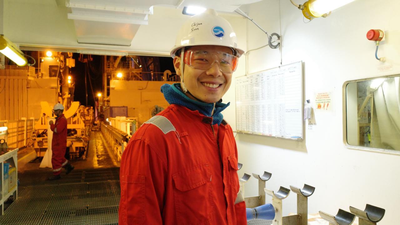
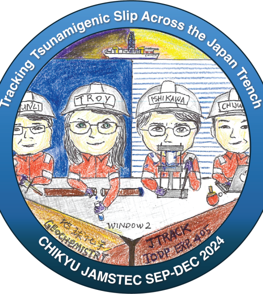
Nearly 14 years later, an international research team is returning from a months-long trip aboard the Chikyu, a deep-sea scientific vessel, to investigate the area. Known as International Ocean Discovery Program Expedition 405, the research team is studying the displacement of the seafloor that resulted from the 2011 natural disaster. And a UC Davis paleoclimatologist is among the crew.
“The leaders of this expedition have several objectives to understand how the earthquake developed, how well the area is healing and building up energy and if it might cause another earthquake in the future,” said Chijun Sun, an assistant professor of earth and planetary sciences at the College of Letters and Science at UC Davis.
To glean these insights, the team drilled in two areas, an area of the fault zone that experienced a horizontal slip during the earthquake and an area of undisturbed rock. They extracted core samples from both regions, reaching the bottom of the ocean sediments, hundreds of meters below the sea floor.
“The crew was continuously coring at those two sites,” Sun said. “It can take three to six hours to get one core sample from seven kilometers below the sea surface.”

Sun, who boarded the Chikyu via helicopter in late October, is part of the research team’s geochemistry research group. He and colleagues are conducting analyses to compare the geochemical properties of core samples from each site. Specifically, the team is interested in the sediment’s concentrations of methane and hydrogen and its porewater geochemistry.
“This is both for scientific questions and for safety reasons because if you have too much methane and hydrogen, it could be an explosive hazard,” Sun said. “For scientific purposes, we analyze the gasses and porewater geochemistry to understand the microbial activity and how these gasses and waters are transported within the sediment layers near the fault zone.”
“It’s important to show how hydrogeology might affect the fault and how it might tell us something about the healing of the fault zone related to the earthquake that happened over 10 years ago,” he added.
While it’s too early to report on findings from Expedition 405’s research trip, Sun is excited to bring samples back to his lab to characterize their organic profiles. Such analyses will help Sun better understand the climates of ancient Earth. By accessing preserved chemical signatures in core samples, broadly known as biomarkers, and cataloging how they change throughout the sample’s depth profiles, or time, Sun can refine climate models used to simulate the past. What’s more, that information could inform better climate prediction models.
“If the model and data produce consistent results, then we can use that model to understand why the climate changes and the exact physical mechanisms behind it,” Sun said. “And that can tell us something fundamental about future climate change.”
Sun returned from his expedition aboard the Chikyu on December 20.
“This was an incredible opportunity for me,” he said. “I was able to meet other scientists, expand my research area into a different kind of geochemistry, and I was able to establish new collaborations using other scientists’ techniques to address paleoclimate questions.”
This article originally appeared in the Letters and Science Magazine.
